الجزیره فارسی
روایت خاورمیانه
الجزیره فارسی
روایت خاورمیانه 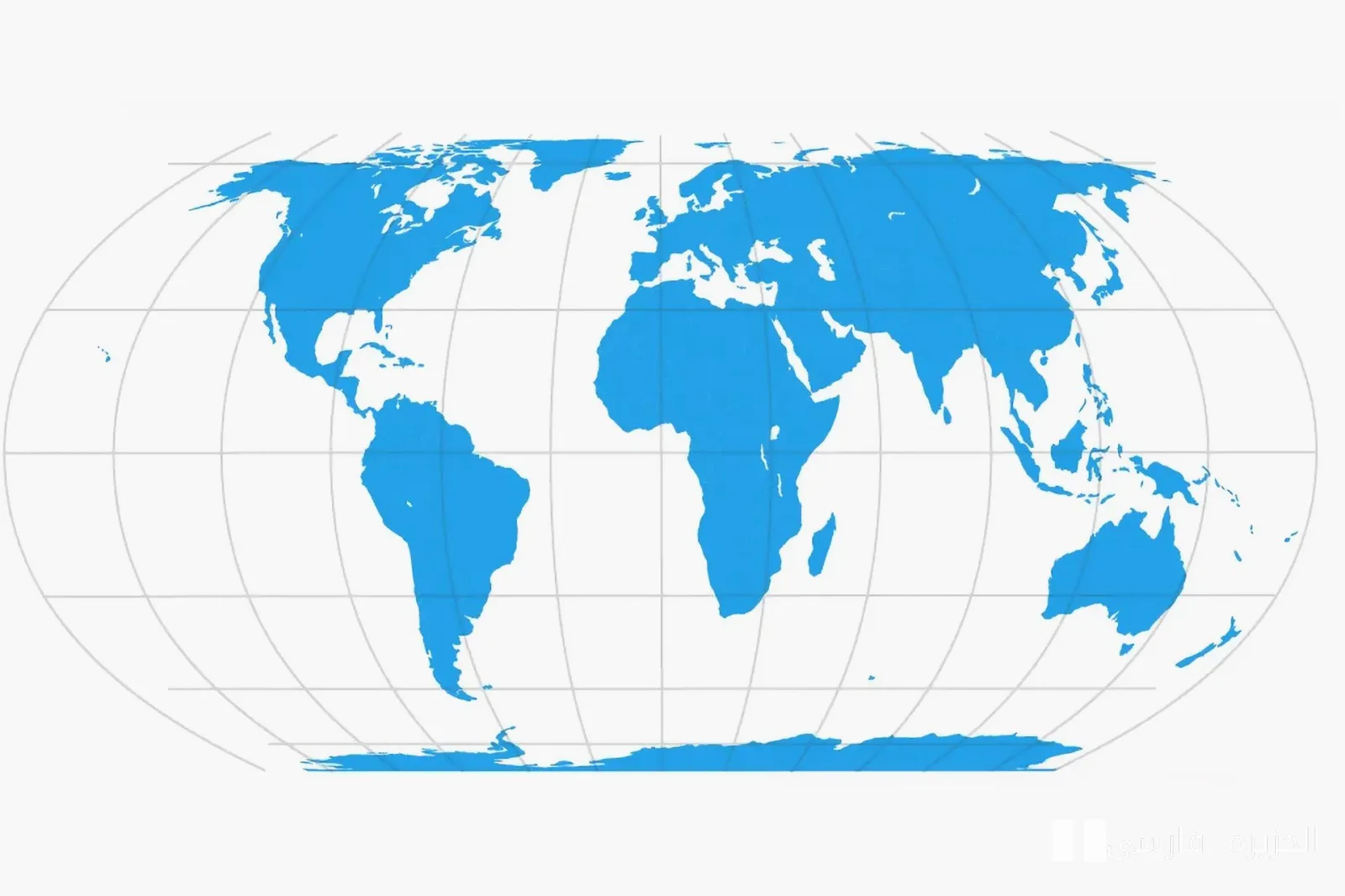
In today's world, maps are not only tools for navigation but are also recognized as symbols of power and influence. But is this image of geography close to reality? The new map 'Equal Earth' has entered the scene with the aim of challenging old standards and historical distortions.
A True Representation of the Earth
This map astonishingly depicts the actual sizes of the continents and reduces the type of visual exaggerations that have been prevalent in traditional maps for years. For example, smaller continents, especially in the Southern Hemisphere, have been disproportionately shown as smaller than they actually are. This distortion has not only affected our understanding of geography but has also influenced global politics and international relations.
Why Is This Change Important?
With the advent of 'Equal Earth', the question arises whether this map can help change attitudes and public perceptions towards geography. Many believe that this type of representation can aid in a better understanding of the importance of lesser-known continents and countries. This change is significant as it can impact political and economic decision-making.
Ultimately, it may be said that the era of geographic distortion is slowly coming to an end. New maps remind us that geographical realities must be depicted accurately and without distortion. Can this change lead to a transformation in global policies? Only time will answer this question.